Parcel No 25 17 32 01 02 0280, New Smyrna Beach, FL
NEXT
PREV
$12,500
List Status: Active
Parcel No 25 17 32 01 02 0280
New Smyrna Beach, FL 32168
Top Features
- Subdivision: Howe & Curriers Allotment
Property Details
Additional Information
Additional Parcels YN
false
Alternate Key Folio Num
3338677
Building Area Units
Square Feet
Calculated List Price By Calculated SqFt
0.23
Cumulative Days On Market
76
Flood Zone Date
2014-02-19
Flood Zone Panel
12127C0675H
Internet Address Display YN
true
Internet Automated Valuation Display YN
true
Internet Consumer Comment YN
true
Internet Entire Listing Display YN
true
Living Area Units
Square Feet
Lot Size Dimensions
155x342
Lot Size Square Feet
54450
Lot Size Square Meters
5059
Modification Timestamp
2025-06-04T11:46:08.720Z
Parcel Number
7225-01-02-0280
Public Remarks
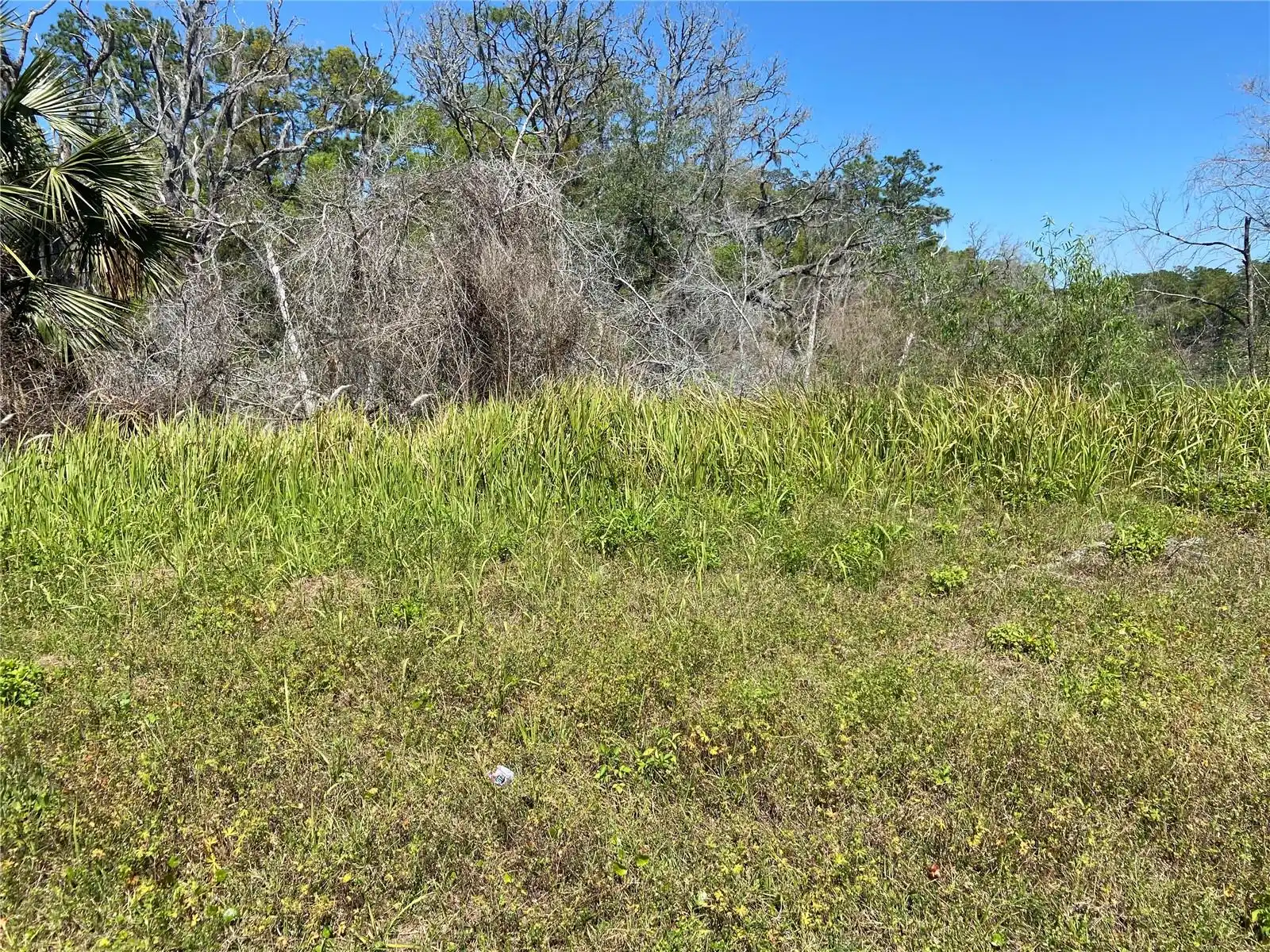
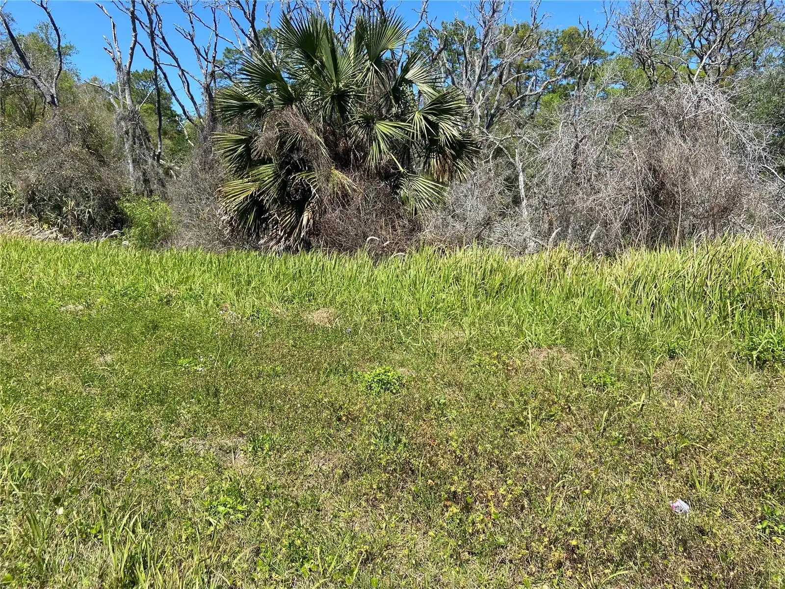
Fantastic Investment Opportunity! This unique, landlocked parcel offers incredible long-term potential in a rapidly developing area. While the property currently lacks direct access, its value lies in its prime location and future growth prospects. As nearby infrastructure projects move forward and area development expands, this land could become an invaluable asset. Perfect for those with vision and patience looking to secure a piece of land with tremendous future upside. Don’t miss out on a rare investment opportunity!
RATIO Current Price By Calculated SqFt
0.23
Road Surface Type
Unimproved
Showing Requirements
Call Listing Agent
Status Change Timestamp
2025-03-20T17:12:58.000Z
Tax Legal Description
25 17 32 1 1/4 A W 1/2 OF SW 1/4 OF N 1/2 OF TRACT 9 BLK 2 PER OR 1805 PG 1626 EXC 100 PC SUBSURFACE RIGHTS
Total Acreage
1 to less than 2
Universal Property Id
US-12127-N-722501020280-R-N
Unparsed Address
PARCEL NO 25 17 32 01 02 0280
MLS #MFRV4941595
Listing courtesy of Town And Country Realty
provided by Stellar MLS.
All listing information is deemed reliable but not guaranteed and should be independently verified through personal inspection by appropriate professionals. Listings displayed on this website may be subject to prior sale or removal from sale; availability of any listing should always be independent verified. Listing information is provided for consumer personal, non-commercial use, solely to identify potential properties for potential purchase; all other use is strictly prohibited and may violate relevant federal and state law.
The source of the listing data is as follows:
Stellar MLS (updated 7/18/25 6:27 AM) |