Subdivision: Cape Atlantic Estates Sec A 01 Unrec 237
Description
Property Details
Additional Information
Additional Parcels YN
false
Alternate Key Folio Num
4017445
Association YN
false
Building Area Units
Square Feet
Calculated List Price By Calculated SqFt
0.89
Country
US
Cumulative Days On Market
385
Current Price
210000.00
Current Use
Other
Flood Zone Code
X
Flood Zone Date
2017-09-29
Flood Zone Panel
12127C0825J
Front Footage
353
Internet Address Display YN
true
Internet Automated Valuation Display YN
true
Internet Consumer Comment YN
true
Internet Entire Listing Display YN
true
List AOR
Orlando Regional
Living Area Units
Square Feet
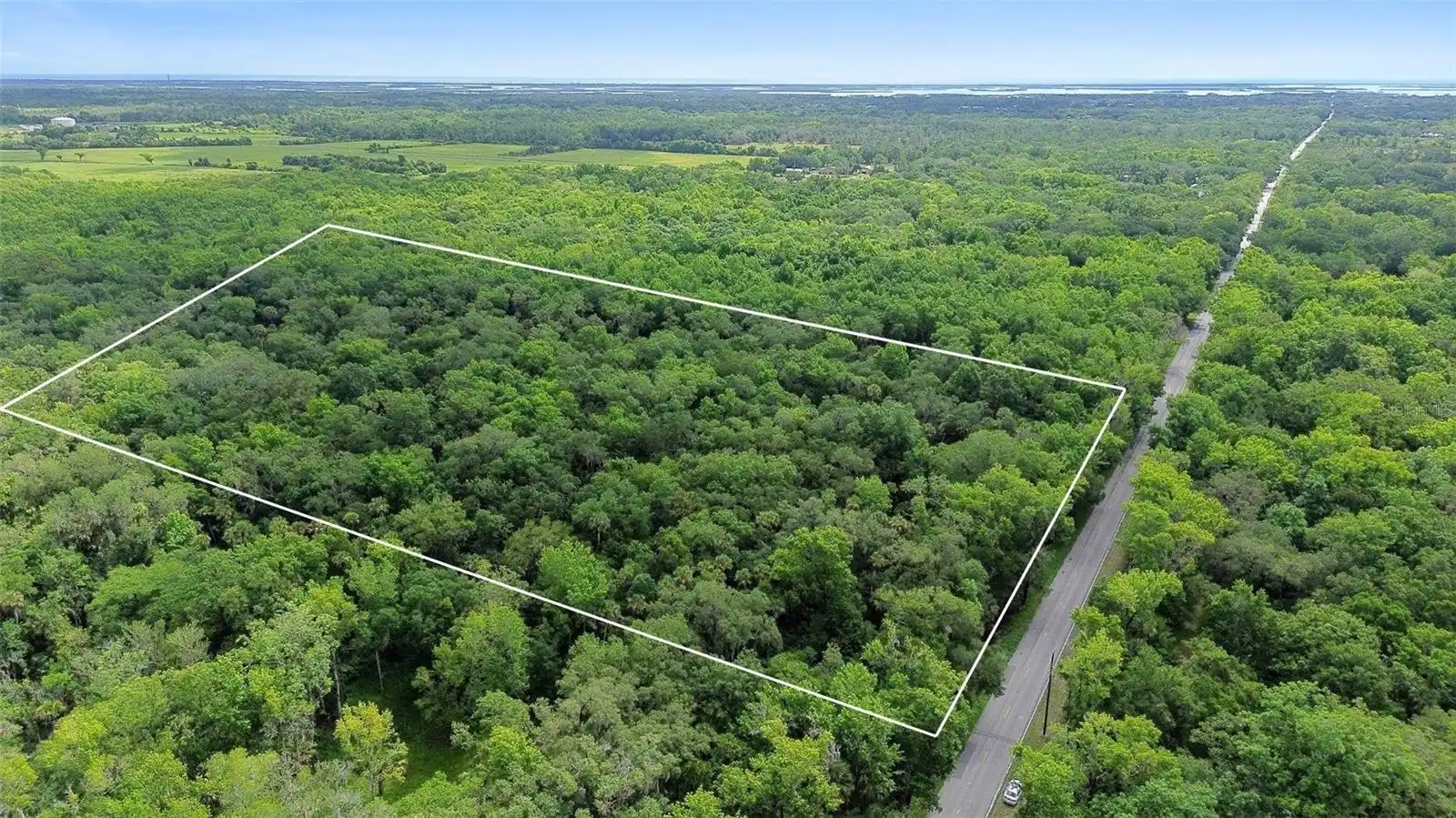
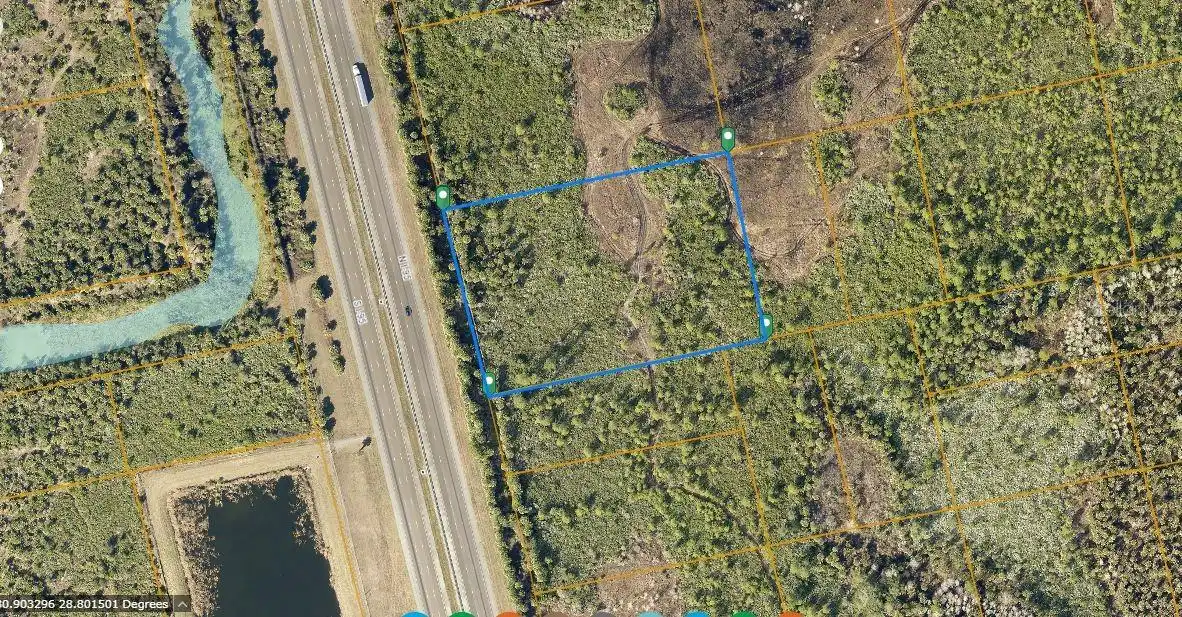
Lot Size Acres
5.39
Lot Size Dimensions
353X719X344X790
Lot Size Square Feet
234789
Lot Size Square Meters
21813
Modification Timestamp
2025-07-01T22:31:09.405Z
Ownership
Fee Simple
Parcel Number
844702102210
Previous List Price
250000
Price Change Timestamp
2025-07-01T22:30:57.000Z
Price Per Acre
38961
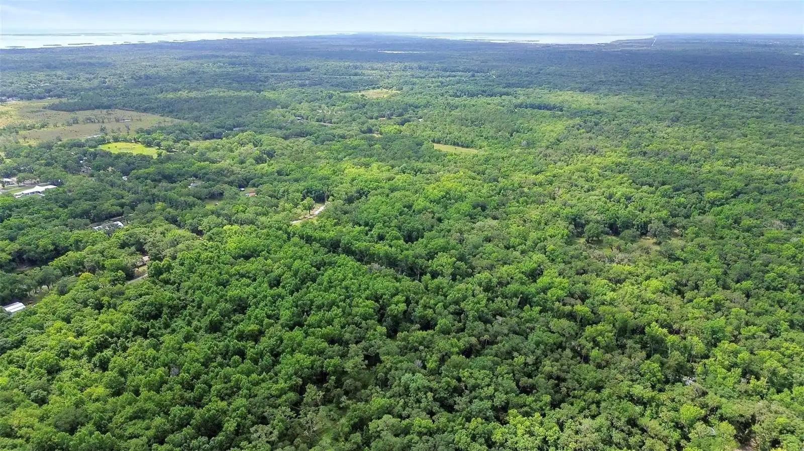
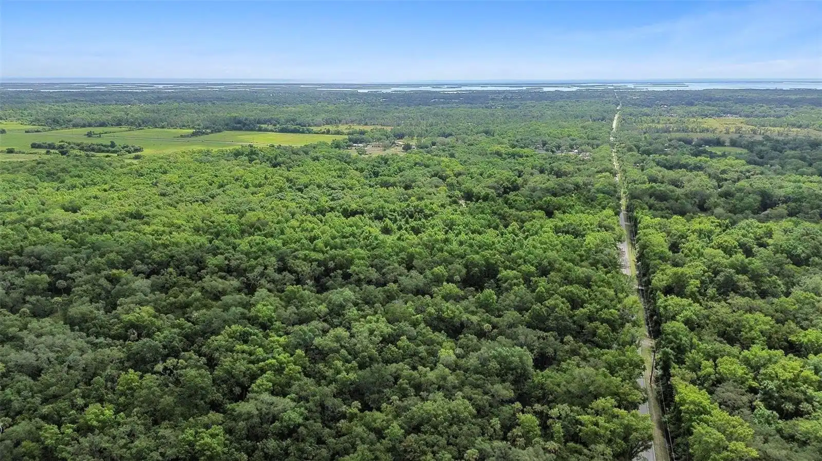
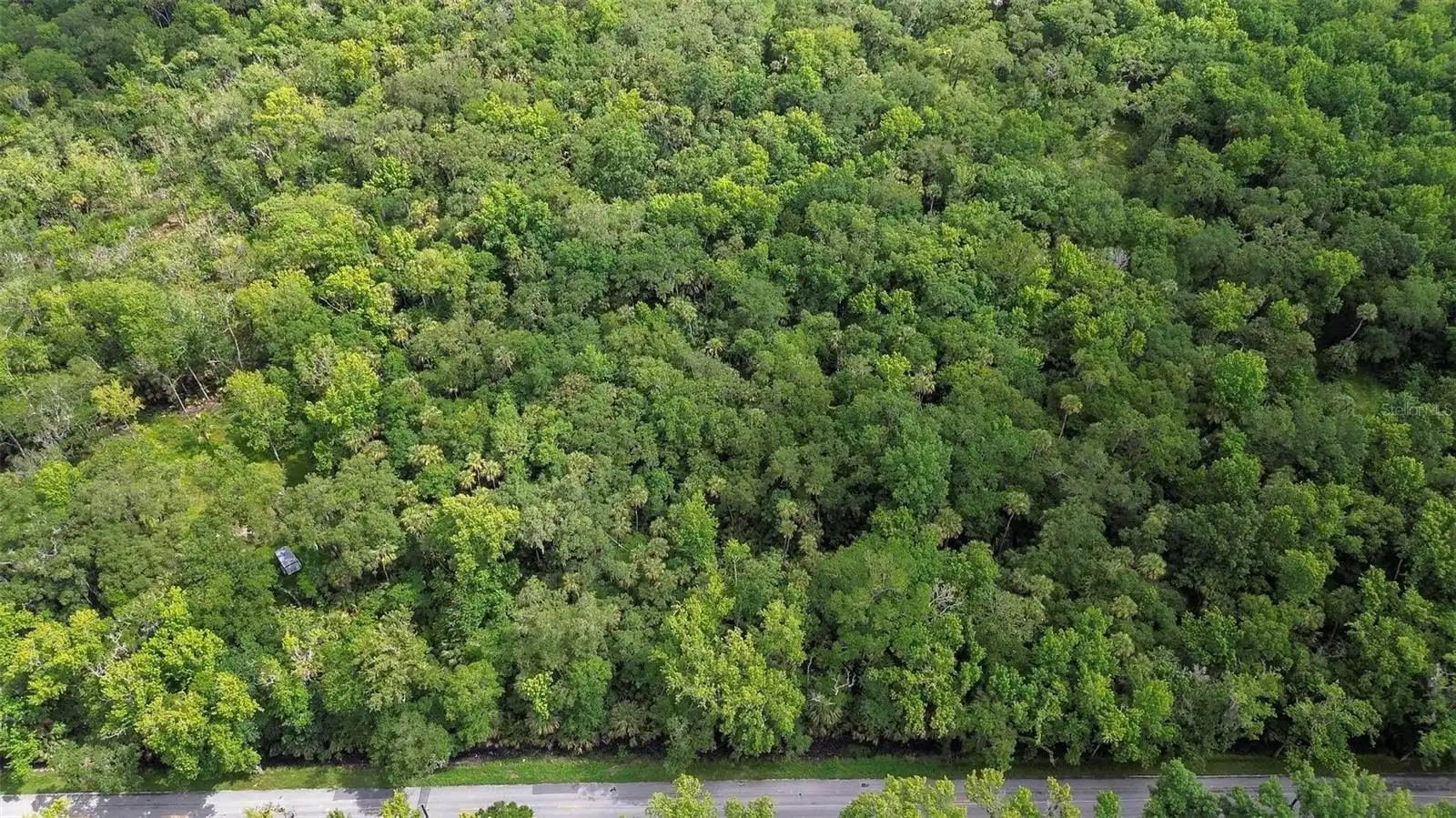
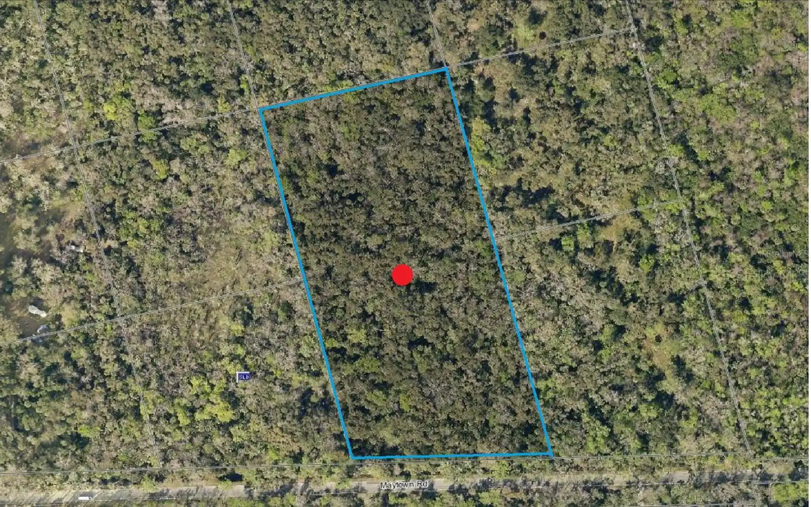
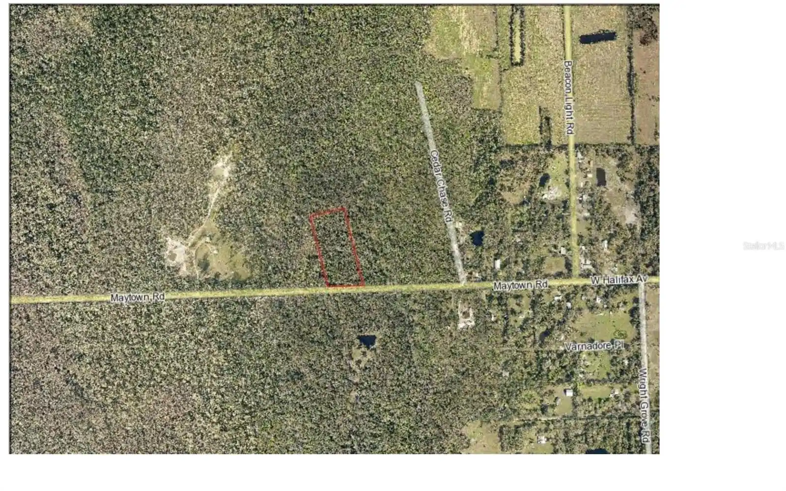
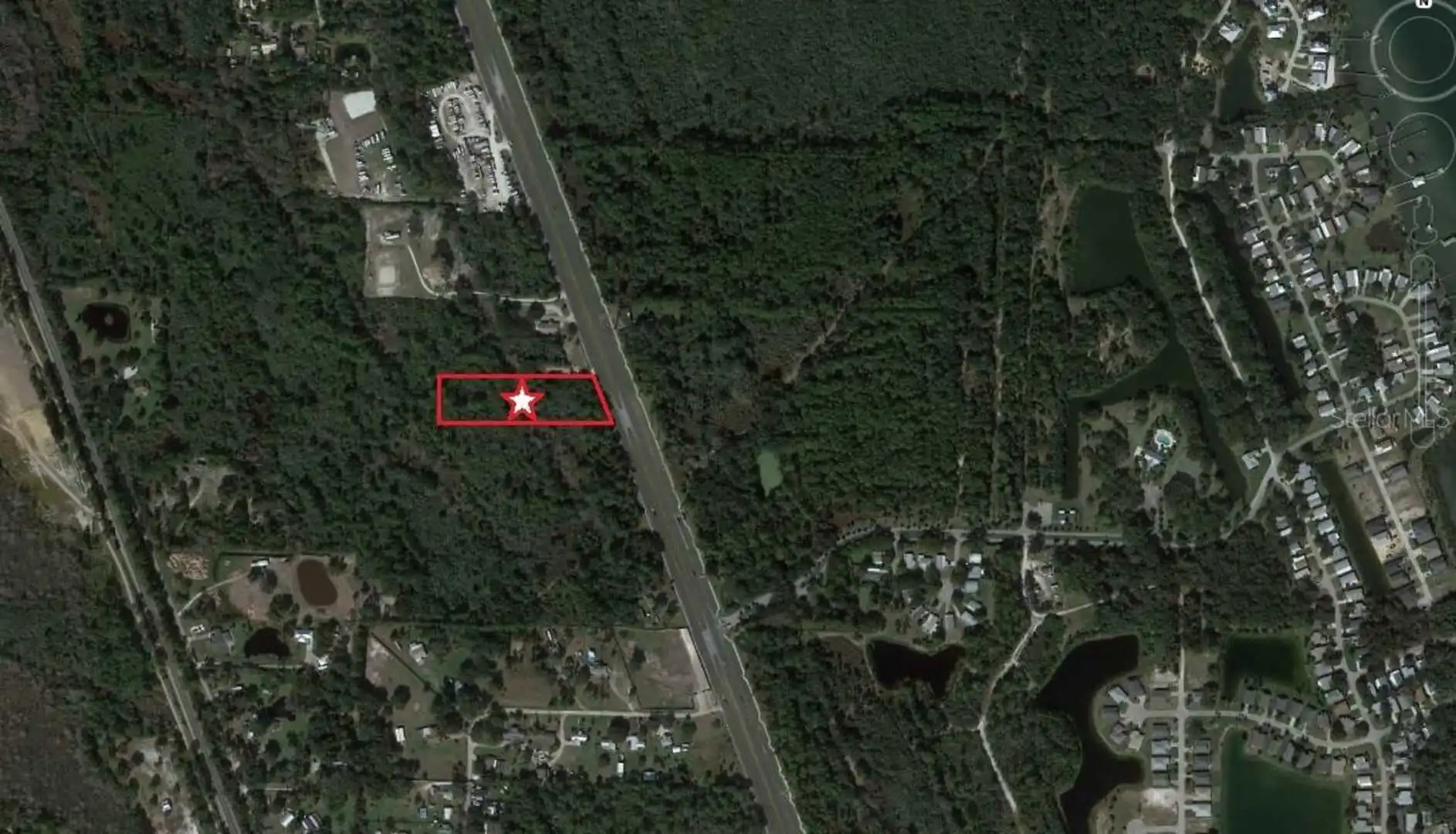
Public Remarks
Looking for land? This lot maybe what you are looking for. Situated off Maytown RD, on the west side of US1, boating lovers will relish the proximity and endless opportunities for adventure. Plenty of space for livestock too! Its a short drive down Maytown Rd towards shopping and interstate, making this parcel appealing for a multitude of purposes. County records indicate a manufactured, modular, or single-family home is buildable. However, prospective buyers should undertake their own due diligence to confirm the properties align with their needs and vision. Lot size is an approximate, seize this rare opportunity and build to suit, your desires await!
Public Survey Range
34
Public Survey Section
47
RATIO Current Price By Calculated SqFt
0.89
Road Surface Type
Unimproved
Showing Requirements
Go Direct, Other, See Remarks
Status Change Timestamp
2024-06-12T02:39:31.000Z
Tax Annual Amount
769
Tax Block
X
Tax Book Number
2127-1823
Tax Legal Description
47 18 34 E 330 FT OF W 20940 FT MEAS ON E/L OF S 681 FT OF N 10972.74 FT OF JN LOWE GRANT N OF ST RD NO 410 AKA LOT 221 & LOT 230 CAPE ATL SEC J UNREC SUB NO 225 PER OR 1991 PG 226 PER OR 5441 PG 1764 PER OR 5634 PG 2147 PER OR 6492 PG 3851 PER OR 6557 PG 1063 PER OR 6559 PG 0421
Tax Lot
221
Tax Year
2023
Total Acreage
5 to less than 10
Total Annual Fees
0.00
Total Monthly Fees
0.00
Township
18
Universal Property Id
US-12127-N-844702102210-R-N
Unparsed Address
MAYTOWN RD
Utilities
Electrical Nearby, Telephone Nearby
Waterfront YN
false
Zoning
RC
Neighborhood Map
Popup
Property Photos
MLS #MFRV4936760
Listing courtesy of Lpt Realty
provided by Stellar MLS.
All listing information is deemed reliable but not guaranteed and should be independently verified through personal inspection by appropriate professionals. Listings displayed on this website may be subject to prior sale or removal from sale; availability of any listing should always be independent verified. Listing information is provided for consumer personal, non-commercial use, solely to identify potential properties for potential purchase; all other use is strictly prohibited and may violate relevant federal and state law.
The source of the listing data is as follows:
Stellar MLS (updated 7/20/25 4:03 AM) |