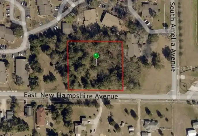
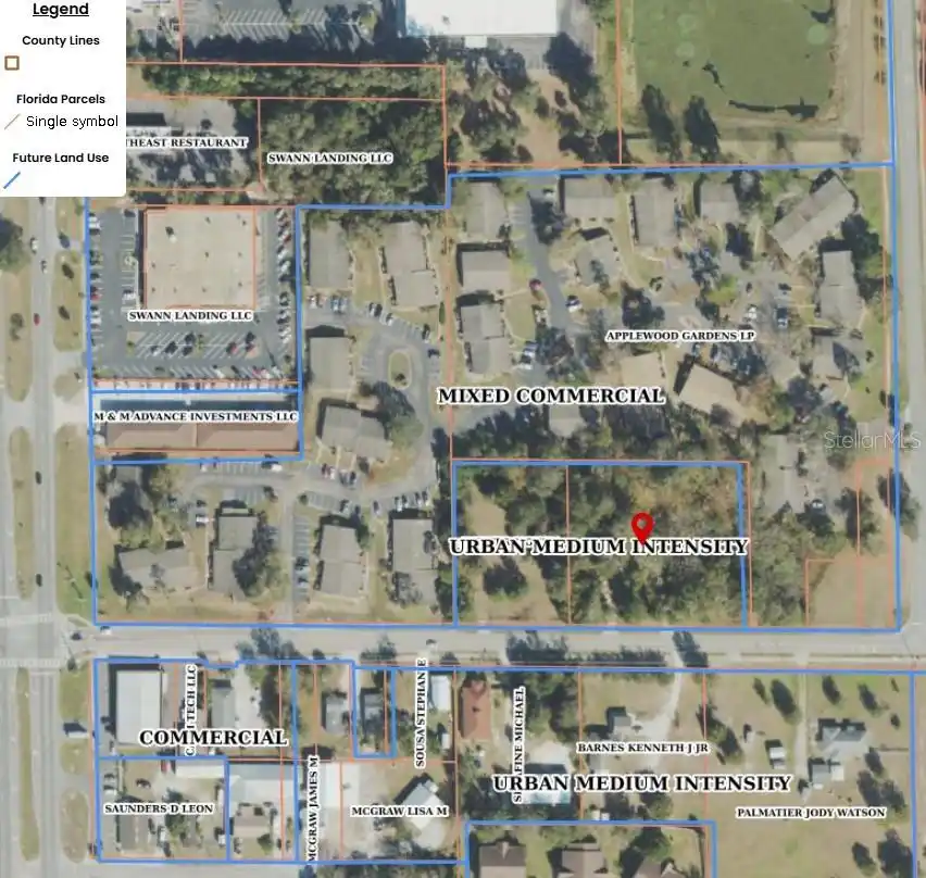
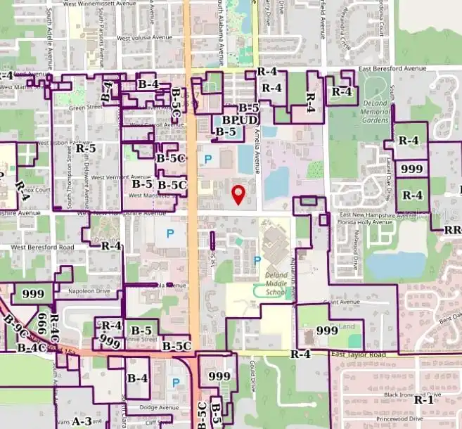
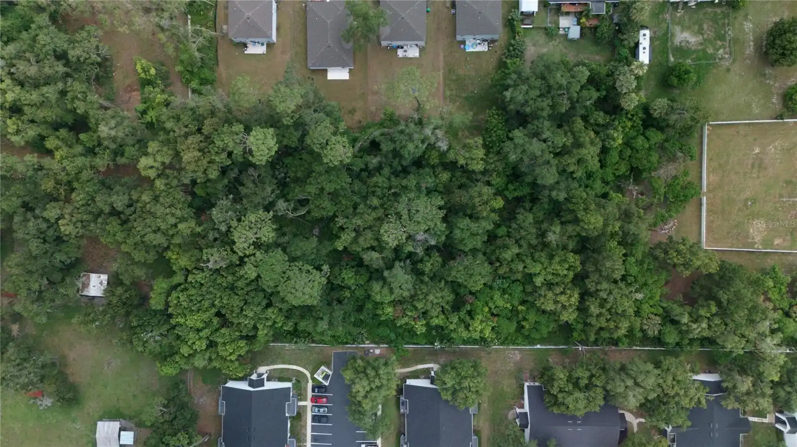
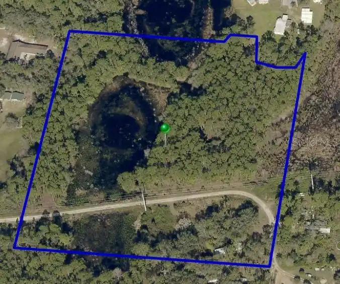
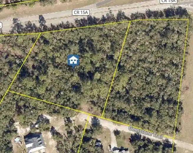
***CURRENT R6 ZONING***HUGE INVESTMENT DEVELOPMENT POTENTIAL*** Within the city limits of Deland, current zoning of VC R6, future land use of Urban Medium Intensity. Lot features public utilities, measures 260' x 235' and is zoned the desirable Flood Zone "X". Future Land Use of Urban Medium Intensity potentially allows for a variety of uses for this lot. Don't miss this opportunity to invest in a growing community!
Public Survey Range
30
Public Survey Section
21
RATIO Current Price By Calculated SqFt
3.21
Road Surface Type
Paved
Sewer
Public Sewer
Showing Requirements
Call Listing Agent
Status Change Timestamp
2025-06-20T14:02:49.000Z
Tax Annual Amount
1183
Tax Block
00
Tax Book Number
4009-3
Tax Legal Description
21-17-30 E 260 FT OF W 425 FT OF N 234 FT OF S 264 FT OF SE 1/4 OF SE 1/4 OF NW 1/4 INC PER OR 2136 PG 905 PER OR 3857 PG 3221 PER OR 4171 PG 3179 PER OR 7922 PG 4362
Tax Lot
0570
Tax Year
2024
Total Acreage
1 to less than 2
Total Annual Fees
0.00
Total Monthly Fees
0.00
Township
17
Universal Property Id
US-12127-N-702100000570-R-N
Unparsed Address
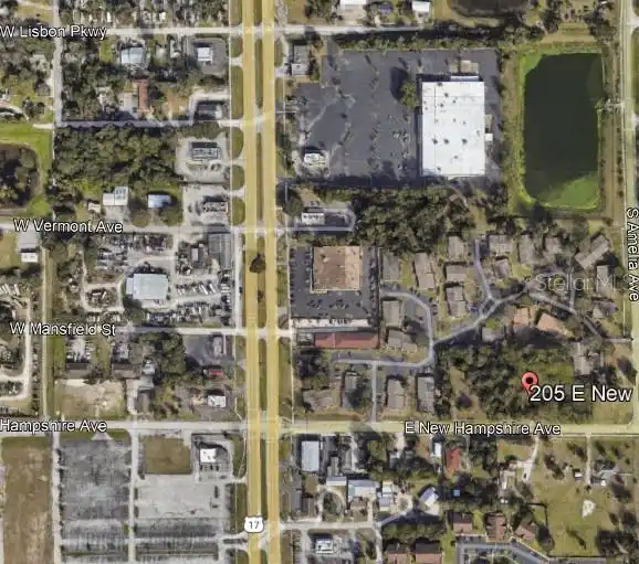
205 E NEW HAMPSHIRE AVE
Utilities
Electricity Available, Public
Water Source
Public
Waterfront YN
false
Zoning
01R6
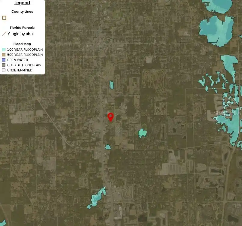
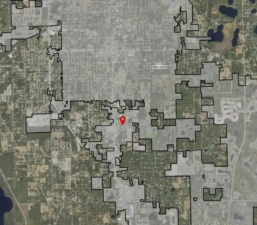
Neighborhood Map
Popup
Property Photos
MLS #MFRTB8398602
Listing courtesy of Strategic Land Sales
provided by Stellar MLS.
All listing information is deemed reliable but not guaranteed and should be independently verified through personal inspection by appropriate professionals. Listings displayed on this website may be subject to prior sale or removal from sale; availability of any listing should always be independent verified. Listing information is provided for consumer personal, non-commercial use, solely to identify potential properties for potential purchase; all other use is strictly prohibited and may violate relevant federal and state law.
The source of the listing data is as follows:
Stellar MLS (updated 7/18/25 10:16 PM) |